Introduction
Kubotani Forest Therapy Road is one of the certified Forest Therapy Roads in Japan (for details on Forest Therapy Roads, see the Forest Therapy Society's page).
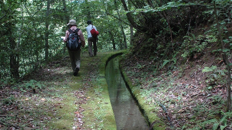
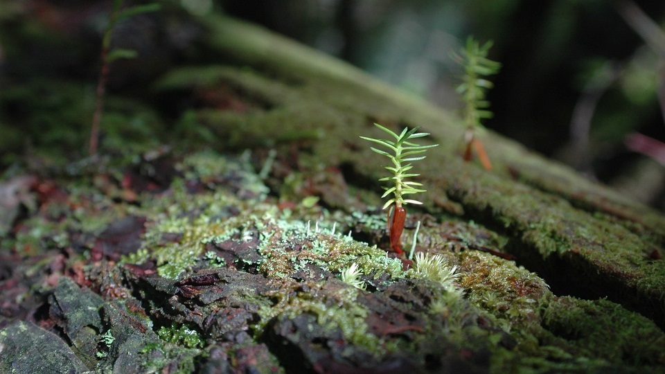
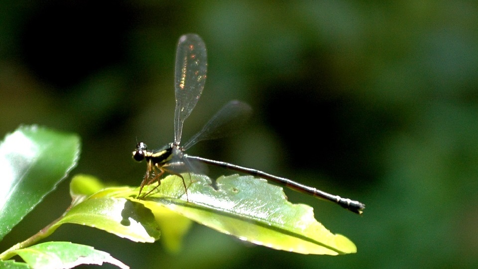
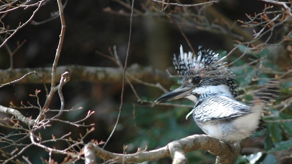
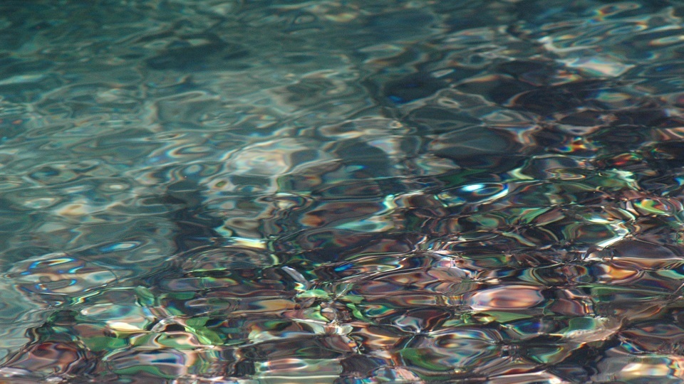
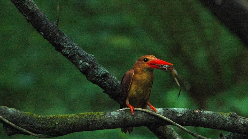
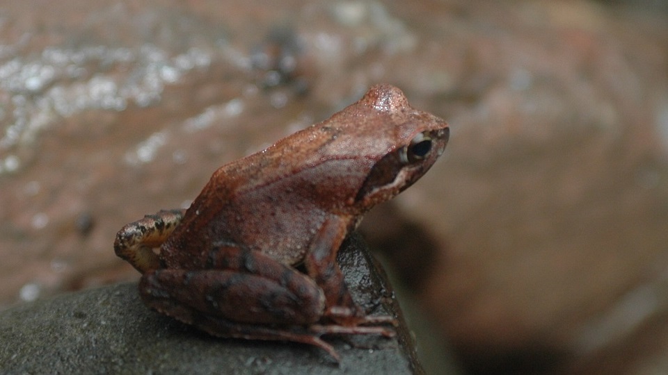
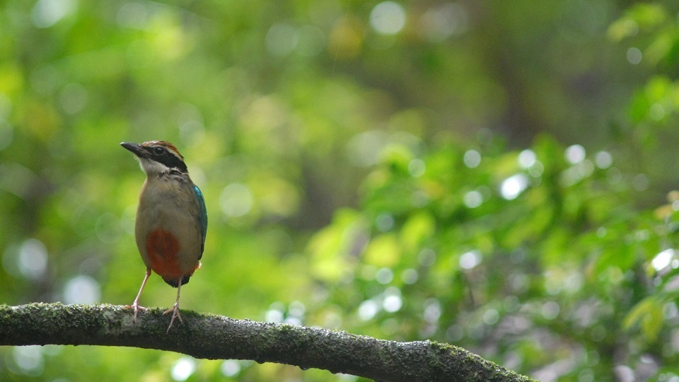
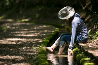
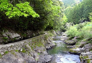
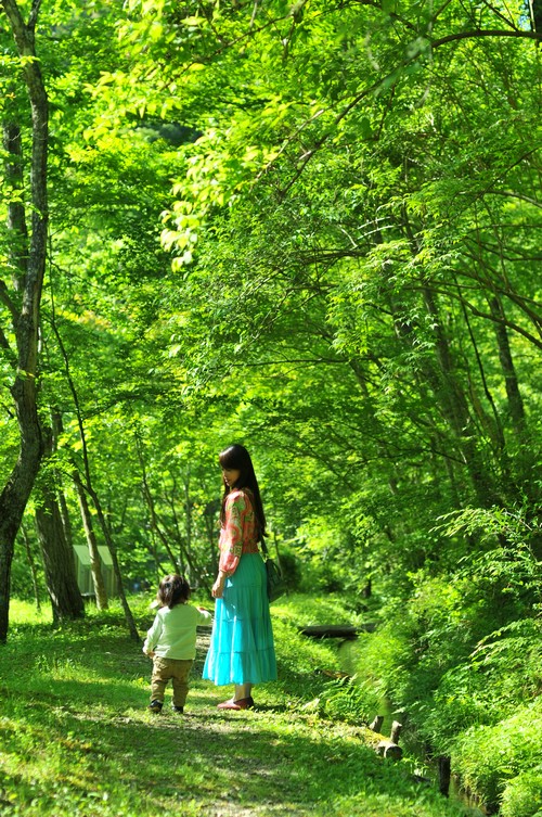
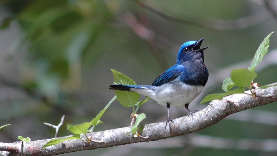
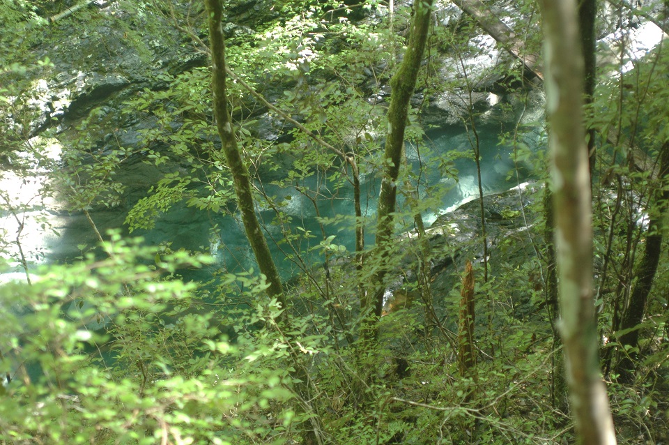
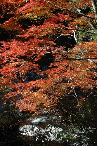
It runs along the ex-agricultural water channel for paddy field. The forest is amazingly beautiful. You can hear the birds singing everywhere. You can feel the gentle mountain breeze. You can see the beautiful moss and unique plants. Also the river (Kubotanigawa) next to the road is extremely clear.
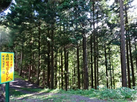
The course is very flat and easy to walk (no special equipment is needed). It takes only two hours. It is regularly maintained by the local people of Matsubara to keep the good condition.
How about visiting the road and have a good healing experience?
Where is it?
Kubotani Forest Therapy Road is located in Matsubara, Yusuhara-cho, Takaoka-gun, Kochi, Japan. It is very country side and the access is not convenient, but therefore such a beautiful forest is left.
I would like to introduce a Youtube video. It was taken in Autumn. It shows the atmosphere of Kubotani precisely.
Beautiful, isn't it? Do you want to come to visit?
As I mentioned above, the access to Matsubara (or Yusuhara) is not so good. But foreigners constantly visit Matsubara (or Yusuhara) by themselves (some of them even live here!).
However, unless you have lived in Japan for a long time, it is recommended to hire a guide who knows the roads and can speak Japanese. (There seems to be some travel agencies conducting tours designed for foreigners. Cycling tours come to Matsubara often. Bus tours come to the therapy road sometimes. Please check and contact them.)
I also recommend you to contact the town office and the tourist information center (Maroudokan) of Yusuhara. I found they have English web site for tourists (it has very good photos of Yusuhara (incl. Matsubara)). I know they are very welcoming and would help you. They might call a taxi or arrange other way for you.
Google map of Kubotani (or Matsubara) is shown below.
Other map of Matsubara is shown below. (I know it is small for smartphones, but I put it on anyway. Please be careful the north is left.)
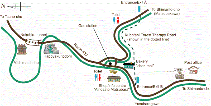
The photos of the Entrance/Exit A and B are shown below. Entrance/Exit A is near the route 322. Entrance/Exit B is near the route 439. Entrance/Exit B is easier to find and there is a parking space next to the shop and info centre, so using the Entrance/Exit B is recommended.
Entrance/Exit A
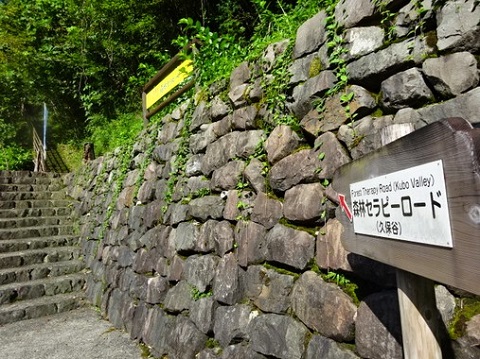
Entrance/Exit B
If you can speak Japanese, you can hire one of the local guides. They are all trained and certified as Kubotani Forest Therapy Road guides. If you want, see the Japanese page (there is more information about Matsubara) and contact them.
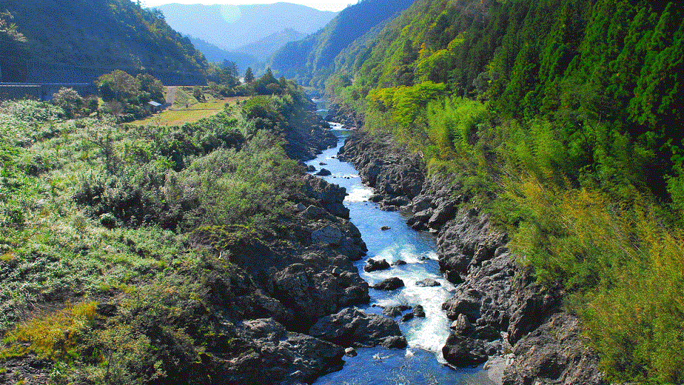
Kubotani and/or Yusuharagawa ("Tani" means valley and "Kawa/Gawa" means river in Japanese) are one of the headwaters of Shimantogawa. Shimantogawa is called as the "last clear stream" in Japan for many years (it might be 40 years or so). So the headstream is clearer than the main stream obviously.
The nature of here is very rich. I added some photos on this web site (click here or the link on the top). They are not all taken at Kubotani (or Matsubara/Yusuhara), but taken at the headstreams of Shimantogawa.
The above information is probably enough to get the overview of Kubotani Forest Therapy Road. I will show you the other information about Yusuhara and other area neaby which might enrich your trip. (I am planning the page. Please wait.)